Sunday’s are my day’s to get out and really explore the countryside. My weekdays are consumed with work and dad-life, so I don’t have a huge amount of time until the weekends. I typically do a short-ish trail hike on Saturday, and save my 5-10 mile trek for Sunday.
This past weekend, May 19, 2024, I made the ~1 hour drive out to the trailhead for Eagle Rock, near Warner Springs. It’s a beautiful drive up through Ramona and out past Santa Ysabel countryside. Stop in either/both towns if you have time to do so.
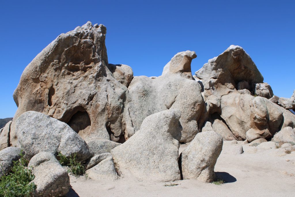
What I love about this trail is that I usually run into a number of PCT hikers on the almost 7 mile out-and-back route. This section of the PCT is approx mile 106 – 109 on the Pacific Crest Trail (PCT map here), or if you working backwards from the trailhead to the rock formation like I was, it’s mile 109 – 106.
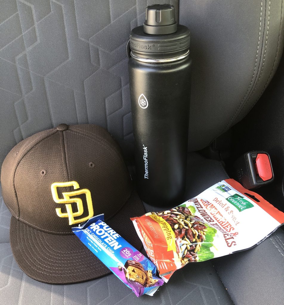
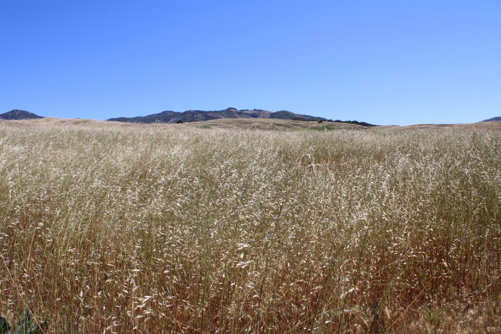
I started out around 9:30 am from the trailhead. On other visits here, parking was hard to come by, but on this occassion there was plenty of available parking. It was 67F when I was setting out, and approx 3 hours later when I got back to the trailhead, the temperature had crept up to 75F. Not terribly hot, but do remember that this trail goes get extremely hot during the summer months, and there are significant sections where there is no shade cover. Hats, sunblock and whatever sun protection you would normally use, is advisable.
I did not meet many people on the trail. There were a couple of overnight campers breaking down their tents near the start of the trail, and I did run into a number of other long distance PCT hikers before I got to Eagle Rock. A few other day hikers passed me along the way too, but for the most part, I enjoyed a very peaceful trek.
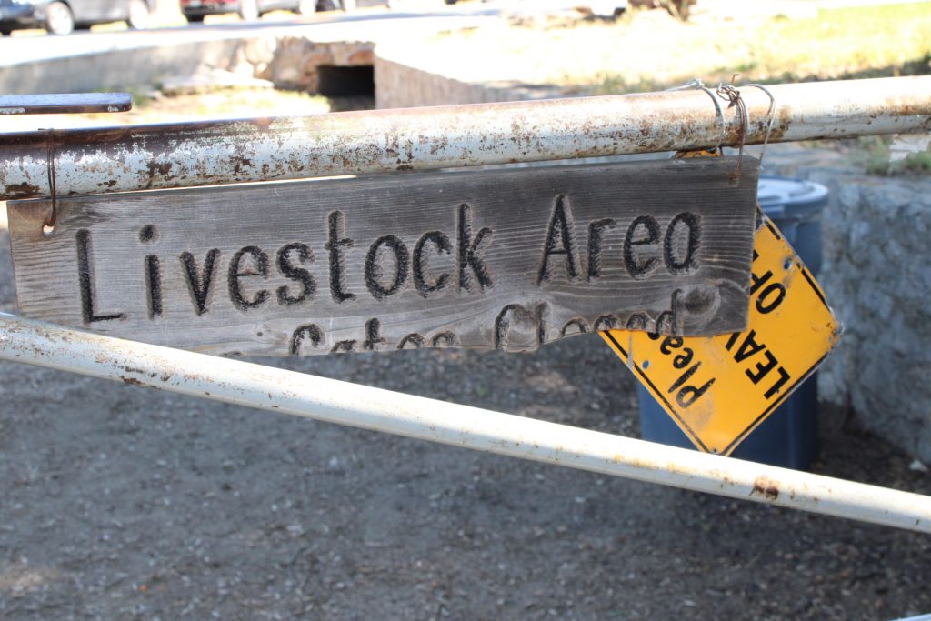
Many people in other forums warn of cattle interactions, but I didn’t have any on this visit. There were obvious signs of recent cattle in the area (watch your step!), and I did see a number of them a couple of hundred yards in the distance, but none on the trail on this day. But, you definitely have to be prepared for a possible bull encounter!
I was hoping to catch a glimpse of other animals, possibly a coyote or snake, but it was not to be. Besides a few squirrels and rabbits, I didn’t get lucky with wildlife.
I made it to the rock formation in about 1 hour 20 minutes. This was with plenty of picture stops along the way. I chatted to a couple of PCT hikers while there, and took a few pictures for them, and then did a 180 and headed back.
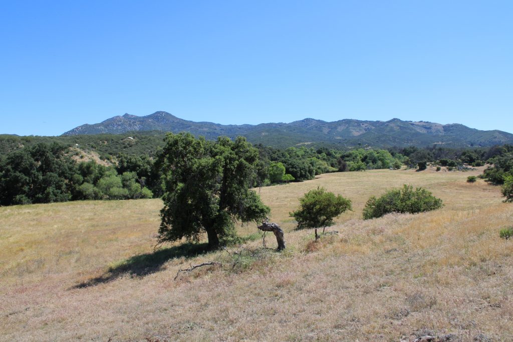
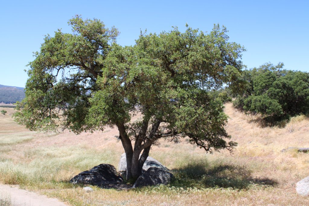
It’s a very scenic hike (no bikes allowed btw), with an energetic stream flowing next to the trail for a good portion of the trip. If you’re in the area, or nearby in the old mining town, Julian, it’s worth a trip out there.
All photos: copyright trektroubles.com, and taken with my Canon EOS Rebel T7 DSLR